We took a day trip to visit the volcano island of Rangitoto. This was our ferry.


Some of the lush native bush growing on the island. It's a wonder that anything grows. The lava fields are like chunks of concrete.


Along the single main road there are fields of clinka basalt lava. It is dense, heavy and has sharp edges. It has a rock quality akin to concrete and doesn't break off easily. It appears to be loose, but most of it is fused together with some loose pieces on top.

Since no construction equipment was allowed on the island, the single main road that we're traveling was established by hand. The government decided to use prison labor instead of additional taxpayer money to build the road on the island. Prisoners with major and minor offenses where ferried to the island to work on the road project. They had to do everything by hand and no gloves were issued. I told you they were serious about conservation.

 |
| A rare bach (house) on the island. |
Clinka lava forms when lava cools quickly and moves so fast it shatters into this chunky texture.

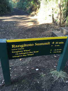
Our train dropped us off at the base of the summit cone so that we could hike to the top.
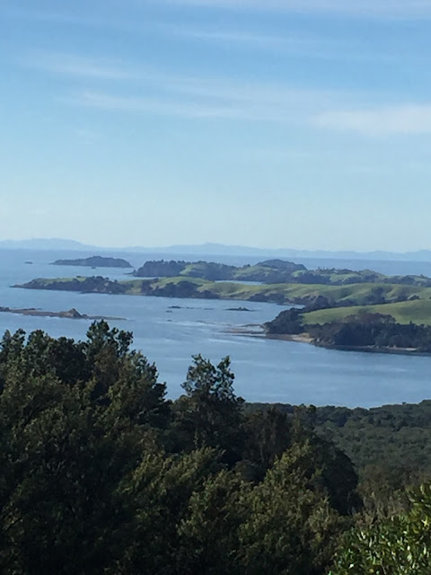
Beautiful views along our ascent to the top. This is a glimpse of Motutapu Island.


A little selfie along the way. Still climbing.

More stunning views along the way.
Just shy of the summit, we stop off to view the actual crater that made this island possible.

From the summit: We're on top of the bottom of the world!


We've finally reached the summit and it's worth it.

This is kind of how I imagine the soil on Mars to look. This reddish, brown scoria is like soil and is only found near the summit of the volcano.

It has a very fine texture like dirt especially compared to the other lava texture. Kids were even playing in the stuff.

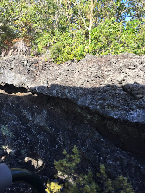
This was the third form of lava that we saw. It's called block lava and has a wall like texture.


No comments:
Post a Comment